SE FireMap Version 1.0
 SE FireMap Version 1.0
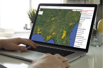
As part of the ongoing SE FireMap project, Version 1.0 of the SE FireMap is now available! This v.1 data can be explored via the Google Earth Engine web viewer below and is also available for download on a case-by-case basis through a data use agreement with NRCS and Tall Timbers Research, Inc.
Process for Developing SE FireMap Version 1.0
This product was developed during the SE FireMap project’s Initial Phase, offering users an initial burned area product and the opportunity to share feedback as product improvements are developed. An improved SE FireMap product is in development as part of SE FireMap 2.0.
About this Product
This v.1 product maps all detectable fires across nine states in the southeastern United States. The map and associated tools aim to improve fire management in urban and rural communities through remote sensing and track both prescribed fire and wildfires throughout portions of Virginia, North Carolina, South Carolina, Georgia, Florida, Alabama, Mississippi, Louisiana, and Texas - prioritizing coverage of the historic longleaf pine range.
The v.1 product contains a fire history dataset that was derived from the USGS Burned Area (v2) Products (Hawbaker et al. 2020) and represents the years between 1994 to present with a one year lag. This product is updated every May. Processing by Tall Timbers Research, Inc. resulted in annual rasters and vectors indicating burn presence (with 90-100% probability) for groups of pixels greater than approximately 2.24 acres (e.g., 10 30m pixels, in any arrangement). Please refer to supporting documentation for additional technical details and guidance on data interpretation.
SE FireMap Version 1.0
Web Map Viewer
The SE FireMap web viewer offers users the ability to interactively explore the v.1 product. To access the web map, users must first login or register on the Landscape Partnership Portal. Prior to utilizing the viewer, it is strongly recommended that users review the Product Information and User Guide publications. Understanding the data product descriptions and known limitations of the v.1 data is critical to proper interpretation and use.
SE FireMap Version 1.0 Product Information
Learn more about the dataset development process, attribute descriptions, known issues, limitations, considerations, and references.
SE FireMap Version 1.0 User Guide
Learn how to navigate the web map! This document offers a walkthrough with screenshots.
The v.1 data is available for download on a case-by-case basis. To submit a request, please review and fill out the data use agreement form.
If you would like to provide feedback on the SEFireMap v.1 product and support ongoing improvements, please share your feedback here.


